")
")
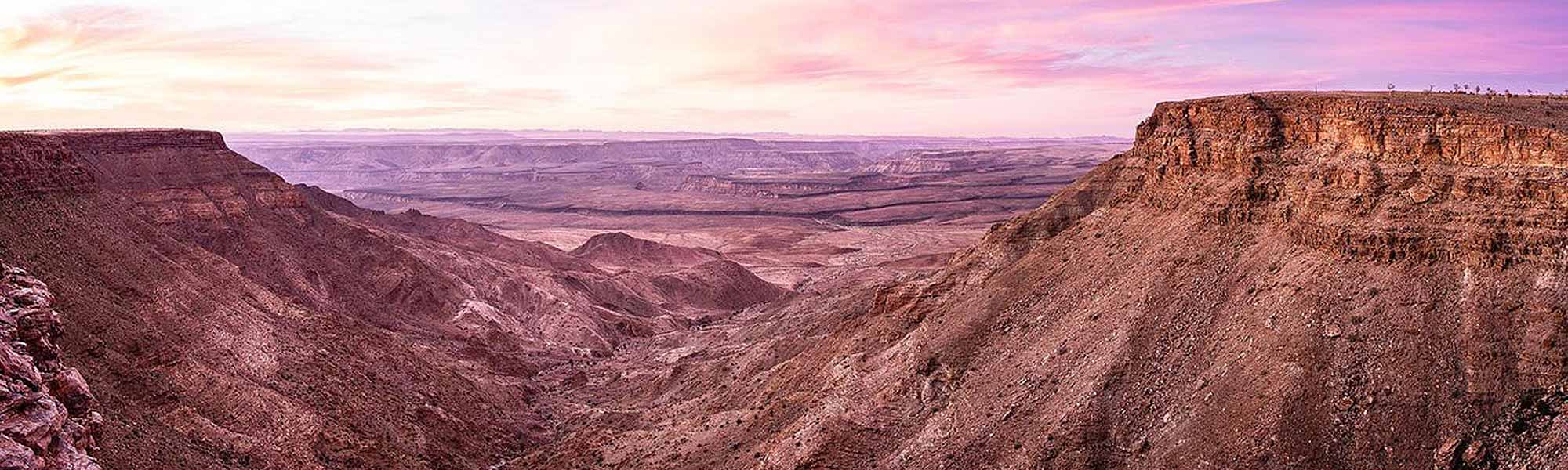
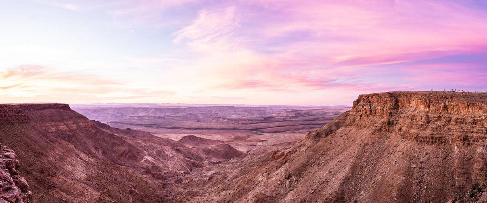
Fish River Canyon
Worlds second biggest canyon
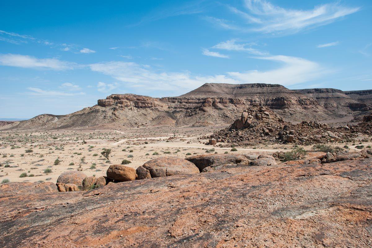
The Fish River Canyon is the second largest canyon worldwide after the Grand Canyon in the USA . The Canyon forms part of the state-run Ais-Ais Richtersveld Transfontier Park. Entrance to the Park is situated 10 kilometres from the well-known view point Hell`s Bend at the Hobas Restcamp.
Visitors have to report here. It is important to know that during the summer month the Canyon hike is closed due to the heat. The Fish River Hiking Trail can be conducted during the months April – September and can be completed within 4 to 5 days, depending on fitness. It covers a length of 85 km and the descent into the Canyon is only allowed for hikers doing the trail. Day-visitors are not allowed to climb into the Canyon.
Specifications
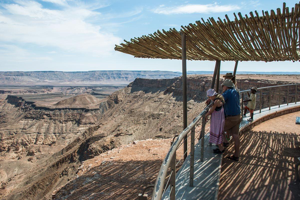
View points
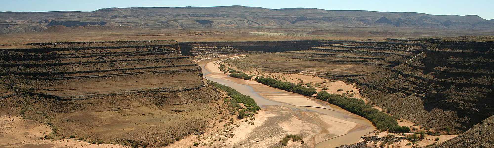
The Fish River is 800 kilometres long and thus the longest river of Namibia. It has its source in the eastern parts of the Naukluft Mountains. After about 200 km the river flows into the Hardap Dam which is the largest water reservoir of the country with a circumference of 30 km and a surface area of 28 km².
After being retained the Fish River does not carry water continuously, only during the rainy season the river might turns into a torrent. During the dry season sporadic pools supply water to many animals.
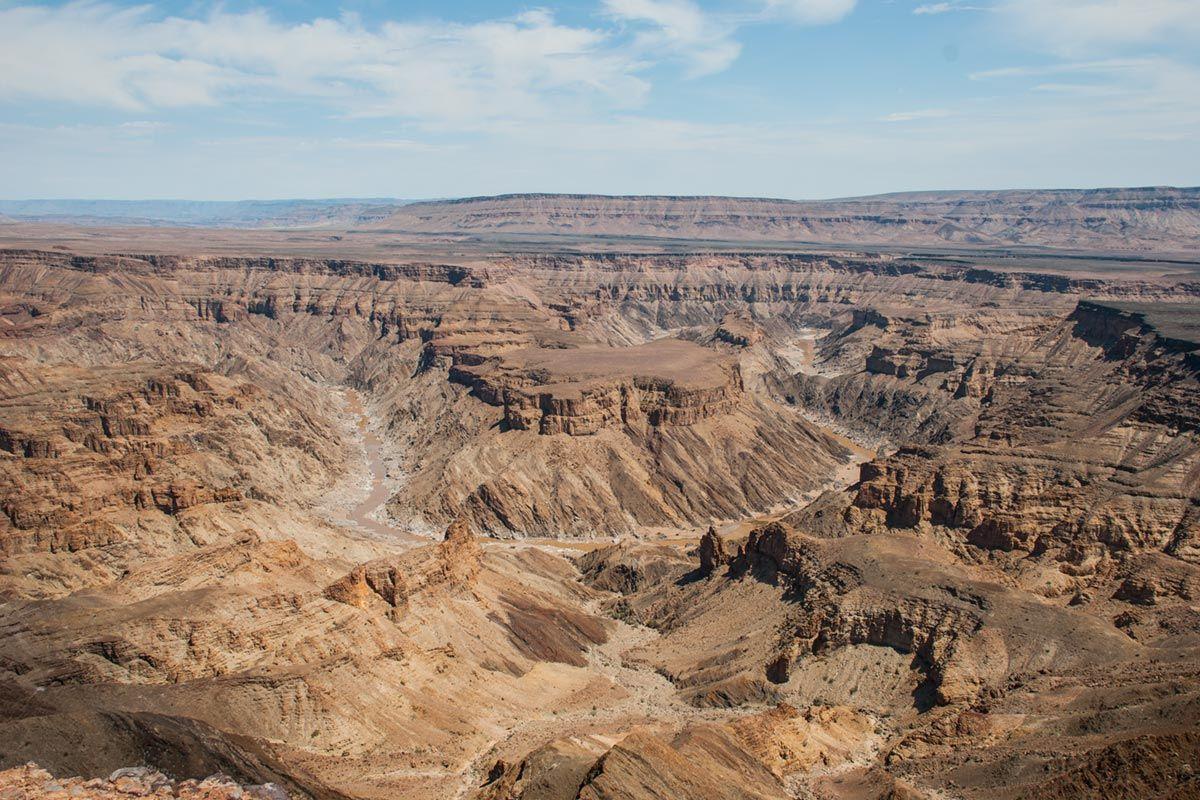
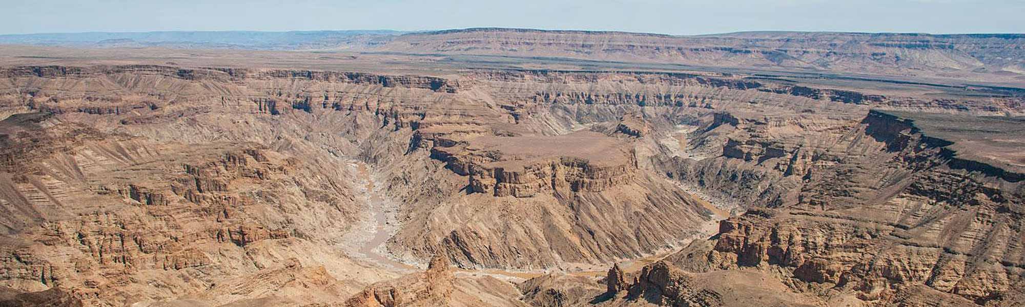
The Fish River Canyon commences at Seeheim, at the lower course of the River. The Canyon is 161 km long, 27 km wide and up to 550m deep. The Fish River Canyon ends at Ai Ais and the river then flows into the Orange River, the border to South Africa
The formation of the Fish River Canyon
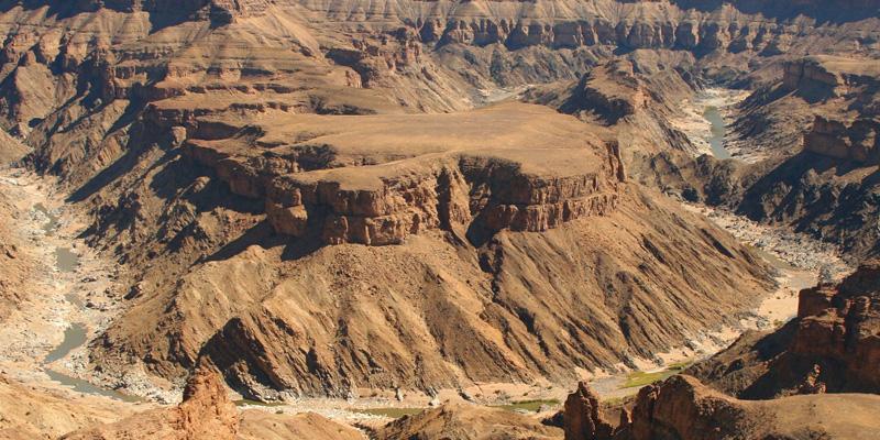
The history of some of the oldest rocks in Namibia (gneiss) cut by the Fish River started over a billion years ago. A might mountain range eroded down to a vast plain flooded by the ocean about 650 million years ago. Then about 350 million years ago the biological formation of the Fish River Canyon started. A vast graben formed along old tectonic faults. It formed the broad ancient valley of the Fish River. The edges of this graben that are more than 20 km apart today form the upper edges of the canyon. After the formation of the graben structure 300 million years ago the riverbed was still 300 metres higher than it is today. With the so-called Gondwana-Glaciation glaciers further deepened the graben. Today ice in the canyon is completely unimaginable.
With the separation of the continent Gondwana about 120 million years ago and the uplifting of the African continent the gradient of the Fish River increased allowing it to erode even deeper into the rock. Today the deepest point of the canyon is 549 metres deep.