")
")
Namib Naukluft Park
Large protected area in the west of Namibia
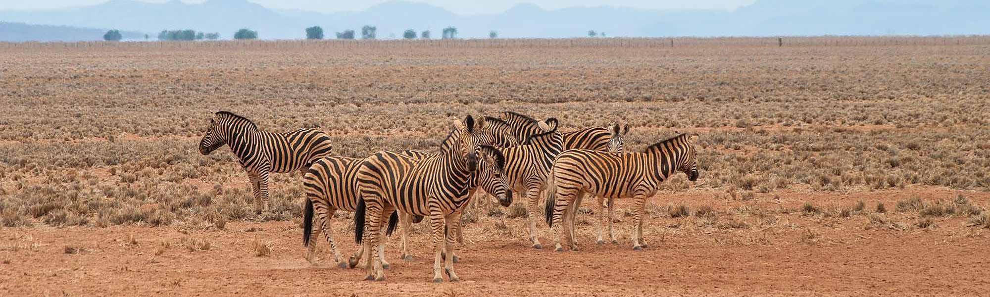
The Namib Naukluft Park is an ecologically protected area and was proclaimed in August 1979. The Park has an area of 49,800 km² and at the time of proclamation it was the largest protected area in Namibia.
The Park is situated at the Atlantic coast and borders the Dorob Park to the north, the Restricted Diamond Area in to the south and it shares the border with the private NamibRand Nature Reserve to the east. In the north east the Naukluft Mountains form part of the Park as well.
Specifications
Hot air ballooning
Guided hiking
Star gazing
etc.
The Park was formed from four regions namely Namib, Naukluft, Sesriem/Sossusvlei and Sandwich Harbour whereby some parts of the Restricted Diamond Area have been added. Should the diamond reserves in the still existing Restricted Diamond Area be depleted propositions have been made to extend the Park to the South African border.
Highlights of the Namib Naukluft Park
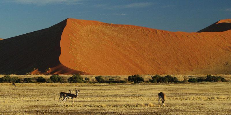
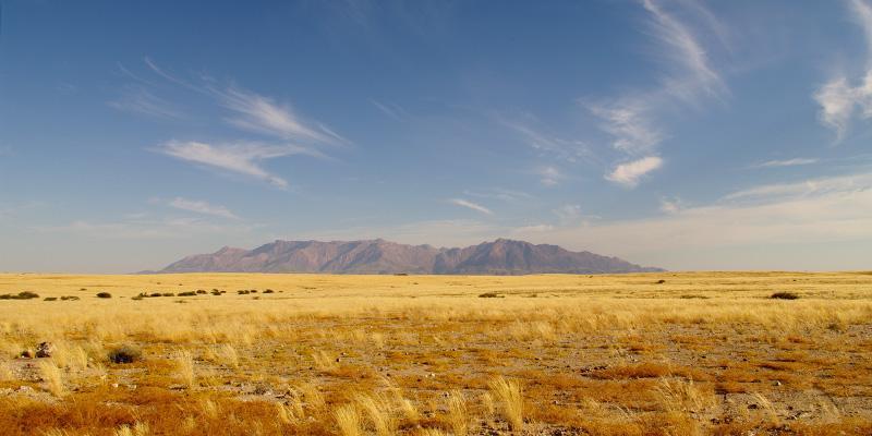
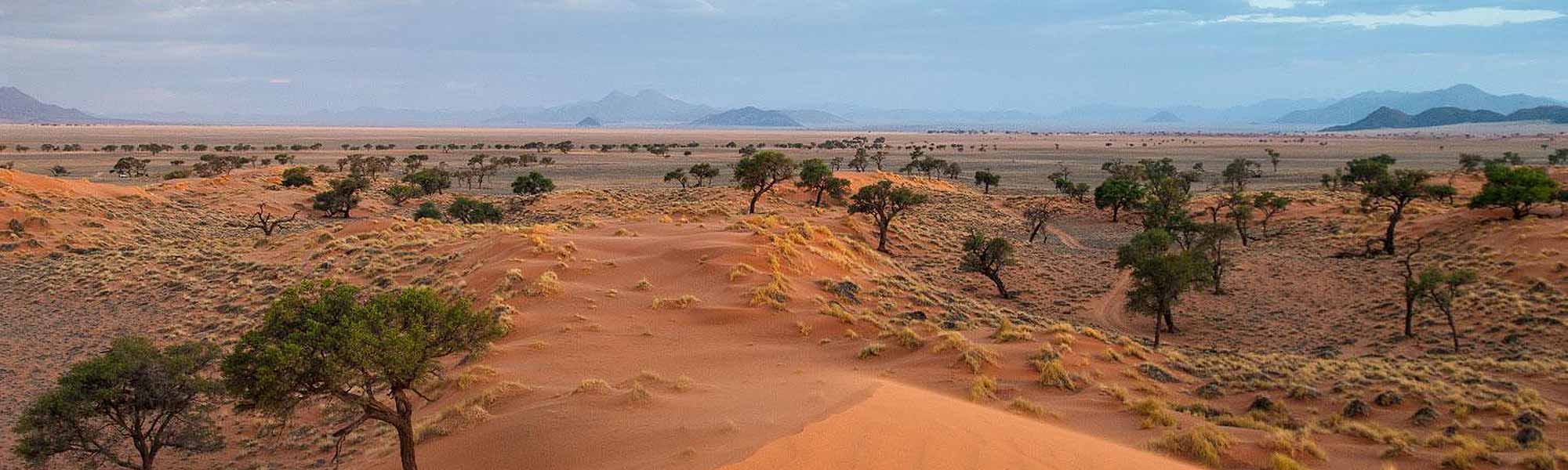
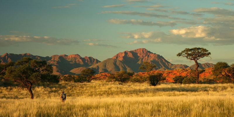
The Namib Desert
The Namib is the oldest desert in the world and extends far beyond the borders of the National Park and includes the whole of western Namibia. The part of the Namib within the Park is about 500 km long and between 100 to 180 km wide. Here the highest dunes worldwide are found, which reach a height of up to 300 metres.
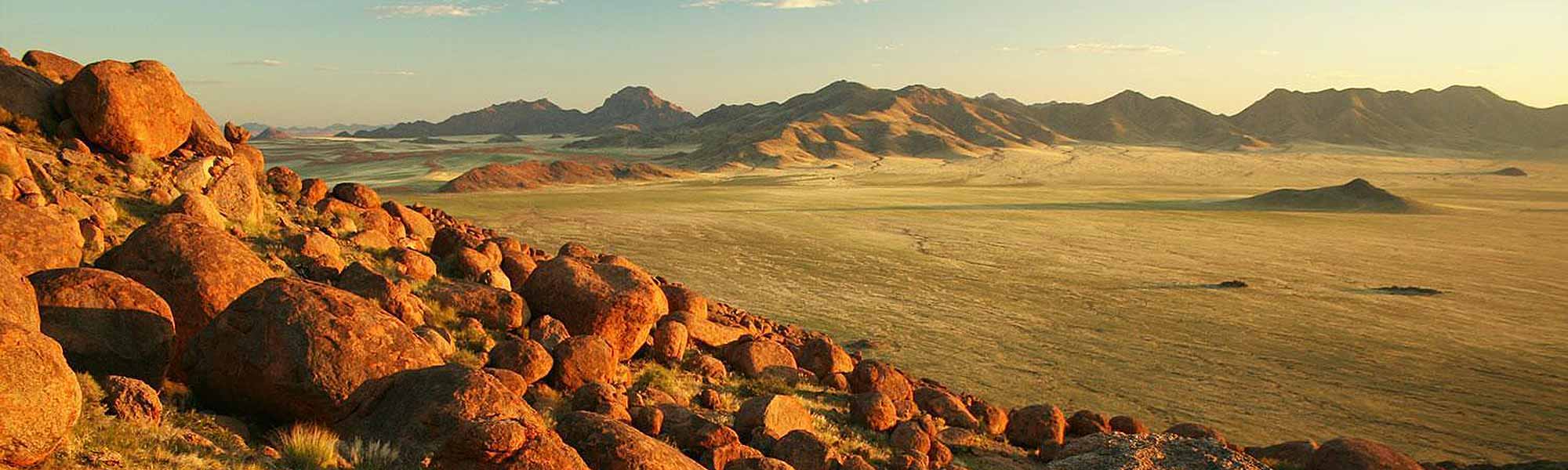
The Naukluft Mountains
The Naukluft Mountains, nearly 2000 metres high, form the eastern extension of the Park.
Sandwich Harbour
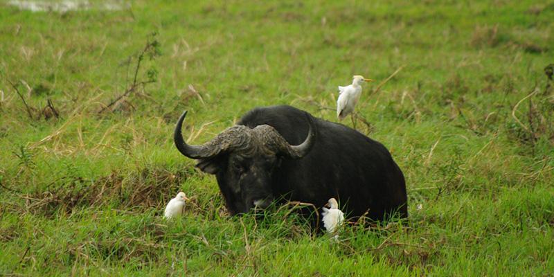
Sandwich Harbour is situated in the north of the Park, about 45 km south of Walvis Bay. It consists of a 10 km long bay or lagoon, surrounded by dunes and vegetated by reeds. This bay is home to more than 200,000 birds (flamingos, cormorants, pelicans and other sea birds) and can only be reached by 4x4 from Walvis Bay.
Sossusvlei, Dead Vlei and Sesriem
Sossusvlei and Sesriem are the main attractions of the Namib Naukluft Park. At Sesriem the Tsauchab River has dug an approximately 1 km long and 30 metre deep canyon into the ground. Sossusvlei is the name of a salt-clay pan surrounded by dunes and is approximately 60 km away from Sesriem.
The major parts of the Namib Naukluft Park are inaccessible for humans. Of the huge area of which 32,000 km² exist of dune fields only the area north of the Kuiseb River, the Naukluft Mountains and the Sossusvlei can be visited.
Since 2010 the Namib Naukluft Park belongs to the Namib Skeleton Coast National Park, which is the biggest protected area of Namibia and the eight biggest worldwide. This Park was formed by the merging of the Skeleton Coast Park, the Namib Naukluft Park, the Restricted Diamond Area and the Dorob National Park as well as the Fish River Canon and the marine reserve Meob-Chamais. This newly developed Namib Skeleton Coast National Park stretches along the entire Atlantic coast of Namibia, from the border of Angola in the north down to the border of South Africa in the south and has a length of 1570 km.